Hygum Hill
Hygum Hill is actually a former water tower in an area that also contains 36 burial mounds and the remains of a German fortification from World War II.

Water towers, burial mounds and fortifications
Hygum Bakke is located in an area of approximately 1 km2 with 36 burial mounds from the Late Stone Age to the beginning of the Bronze Age, the highest of which is 57 m above sea level. Hygum has also been the name of the local parish and means “the settlement by the mounds”. The oldest of the burial mounds south of Hygum Bakke has functioned as a warning mound, from which it has been possible to warn the area of danger with a fire. From Hygum Bakke there is a fantastic view of the landscape towards the North Sea, Harboøre Tange and Nissum Bredning.
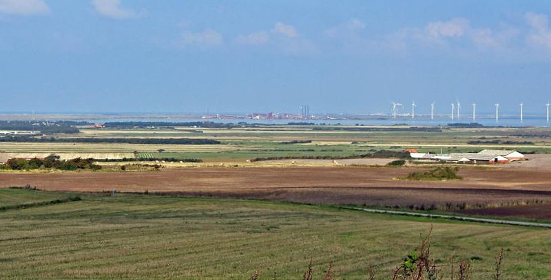
The view also provides an opportunity to convey significant cultural-historical and geological features in the surrounding landscape, including the Arctic Ocean slope and the former outlet of the Limfjord to the North Sea via Veserne and Ferring Sø. A milestone or marker stone from the 18th century at the foot of the hill testifies that part of the old road from Lemvig to Thisted went west of Nissum Bredning until the sea broke through Aggertangen in 1825. The route of the road is known from 17th and 18th century maps and is probably even older. Hygum Bakke itself is partly an artificial hill, which has functioned as a natural-looking "water tower" for Thyborøn, Harboøre and the surrounding area until around 2010. Today, a new underground reservoir has been established at elevation 43 approximately 200 m north of Hygum Bakke.

During World War II, the German Wehrmacht also exploited the area under the name “Höhe 57”. The place was heavily fortified with bunkers, minefields and an anti-tank ditch. The Germans originally planned to use the many burial mounds as a hiding place and camouflage for the fortifications, but one of the local landowners had them talked out of the plans. However, the various bunkers were built into and down into plowed mounds and quite close to the existing protected mounds.

Collaboration with Geopark West Jutland
Hygum Bakke and its immediate surroundings are owned by Lemvig Vand and Spildevand and, in collaboration with the Geopark, information is being created on site about the cultural history and the water supply in the area.