Moborg Baunehøj
Møborg Bavnehøj is one of several highlights in Geopark Vestjylland, from which there is a beautiful view of the surrounding landscape.
Bavnehøjen is also a good example of how stories about landscape and cultural history can be linked together, and how communication can be done in collaboration with local volunteers.
The Bavne Hill
Møborg Bavnehøj has a height of 45 meters above sea level and there is a magnificent view of the surrounding landscape from the top of the hill. Bavnehøje are known from large parts of Denmark all the way back to the Viking Age, and until the Schleswig War of 1848-50 they were used to signal when danger was approaching. The word bavn means a pile of firewood that can be lit as a signal. In recent times they are often used at special celebrations. On top of Møborg Bavnehøj is one of Denmark's more than 330 trigonometric stations. Most of these, like the trigonometric station at Møborg Bavnehøj, are made of granite and placed in a concrete foundation. On top of the pedestal, as the stone is also called, there is a brass button that indicates the exact measurement point for the place. The pedestals have been used in the surveying of Denmark and were set up in the period from the 1830s to the 1930s. The granite pedestals at Møborg Bavnehøj are among the oldest of their kind.
The connection with the surrounding landscape
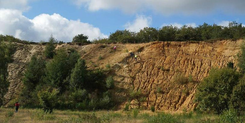
Bavnehøjen and Møborg Church, which are located right next to it, as well as the many burial mounds found on Møborg Bakkeø, contain a fine story about human settlement in the area through the ages and also illustrate how the landscape has played a significant role in choosing places to live. The nearby sand pit also contains a story about how the ice deposits have provided fertile ground for an enterprising business from the late 1940s to 1992.
Traces in the Landscape
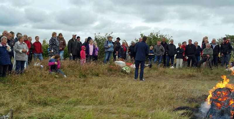
Bavnehøjen is a starting point for a new trail, which is being established by local volunteers in collaboration with Geopark Vestjylland with support from the support scheme "Traces in the Landscape". The trail system ties together the history of the landscape, the church and nature in the area. It is also a story about how nature has developed over a very long time from the completely open and windswept hill island to today with oak thickets, forests, heathland, fields with windbreaks and small lakes. There is a rich wildlife in the area with a number of very common species but also more rare plants such as common wolf's foot, which belongs to a plant family that can be traced back 400 million years. The local parish association, in collaboration with the Danish Nature Agency, which owns part of the area, has established shelters, toilets and a campfire/barbecue area as well as information boards.
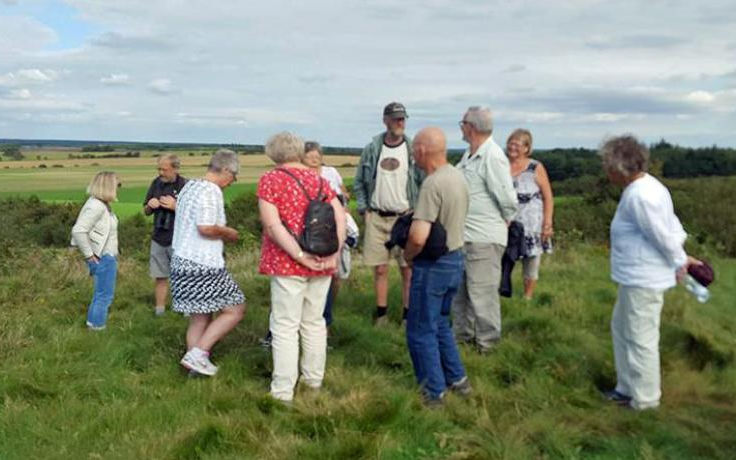
Collaboration with Geopark West Jutland
Møborg Parish Association and Geopark Vestjylland have entered into a cooperation agreement, which includes, among other things, the establishment of Trails in the Landscape at Møborg Bavnehøj and the sand pit. Through the collaboration, the Trails at Møborg Bakkeø are linked to a larger story and made visible in a broader context. In recent years, the area has, among other things, formed the framework for events during the Geology Days.